Survey & Cable Engineers
Professionals planning routes, analyzing burial depth predictions, and optimizing seabed surveys.
PROGRAMME 03 — SPECIALIST
For seabed survey professionals — from UXO and geotechnical survey to cable route and environmental investigations. Delivered by offshore practitioners.

Programme Snapshot
✓ 3 Days In-Person or 5 Half-Day Virtual
✓ Maximum 10 Participants
✓ Practitioner-Led Delivery
✓ Specialist Certification
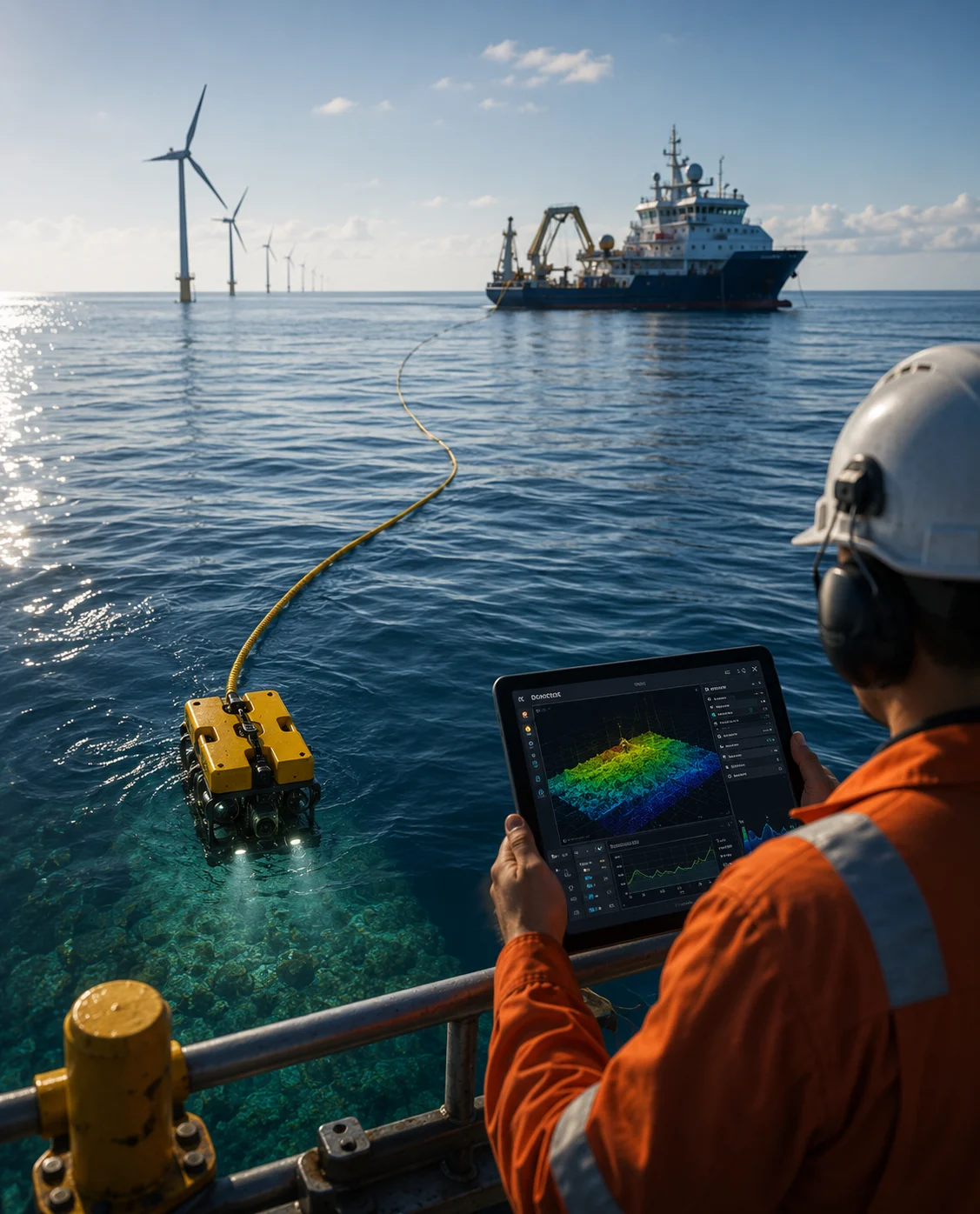
WHY THIS PROGRAMME
For seabed survey professionals — from UXO and geotechnical survey to cable route and environmental investigations.
This programme provides practical, hands-on instructions on AI-driven seabed workflows. Participants learn how to integrate machine learning workflows with modern subsea platforms to achieve unprecedented survey efficiency and reporting speed.
WHO THIS IS FOR
Geoscientists, environmental survey specialists, UXO survey technicians, cable route engineers and any professional involved in seabed survey acquisition, processing or interpretation.
Professionals planning routes, analyzing burial depth predictions, and optimizing seabed surveys.
Specialists analyzing acoustic or video data, mapping benthic habitats, and generating environmental surveys.
Technicians focusing on anomalous item detection, classification, and validation.
PRACTICAL CURRICULUM
Overview
Apply machine learning tools to identify and classify sediment types and seabed features from side-scan, sub-bottom, and camera outputs.
Key Topics
Outcomes
Overview
Integrate spatial data and marine biology schemas to produce environmental reports and identify protected benthic zones.
Key Topics
Outcomes
Overview
Deploy magnetic and acoustic classifiers to distinguish Unexploded Ordnance (UXO) from seabed clutter and rate detection confidence.
Key Topics
Outcomes
Overview
Predict optimal subsea cable routes and burial depths based on geological models, slope limits, and sediment density analytics.
Key Topics
Outcomes
Overview
Synthesize model files, QA logs, and predictive metrics into standardized, client-facing survey packages.
Key Topics
Outcomes
FORMAT AND DELIVERY
3 Days In-Person
Option A
5 Half-Day Virtual
Option B
Maximum 10
Participants per Cohort
Active Survey or Geoscience Role
Prerequisite
Learning Journey Stage
Acquisition & Classification
Acoustic backscatter and video parsing algorithms.
Anomaly Detection
Machine learning model setups for UXO detection.
Deliverable Handovers
Standardizing ML formats for client submissions.
RELATED PROGRAMMES
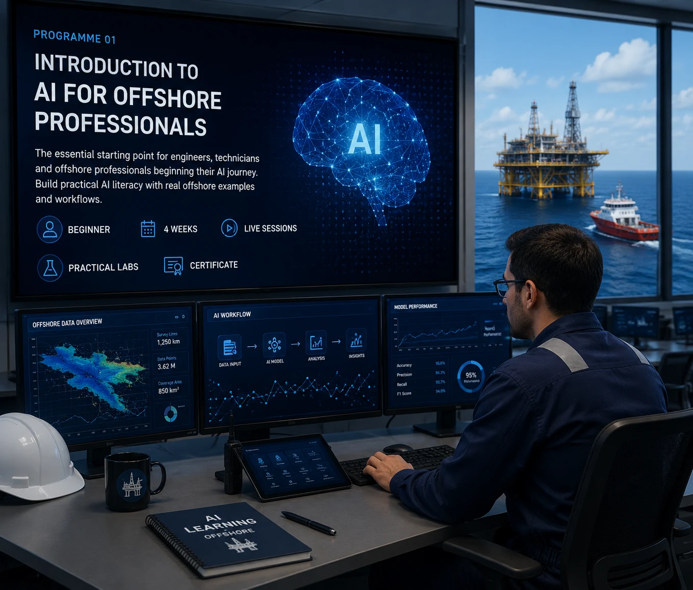
PROGRAMME 01
The essential starting point for engineers, technicians and offshore professionals beginning their AI journey.
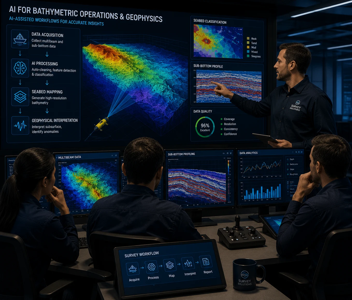
PROGRAMME 02
Apply AI-assisted workflows to bathymetric processing, seabed mapping and geophysical interpretation.
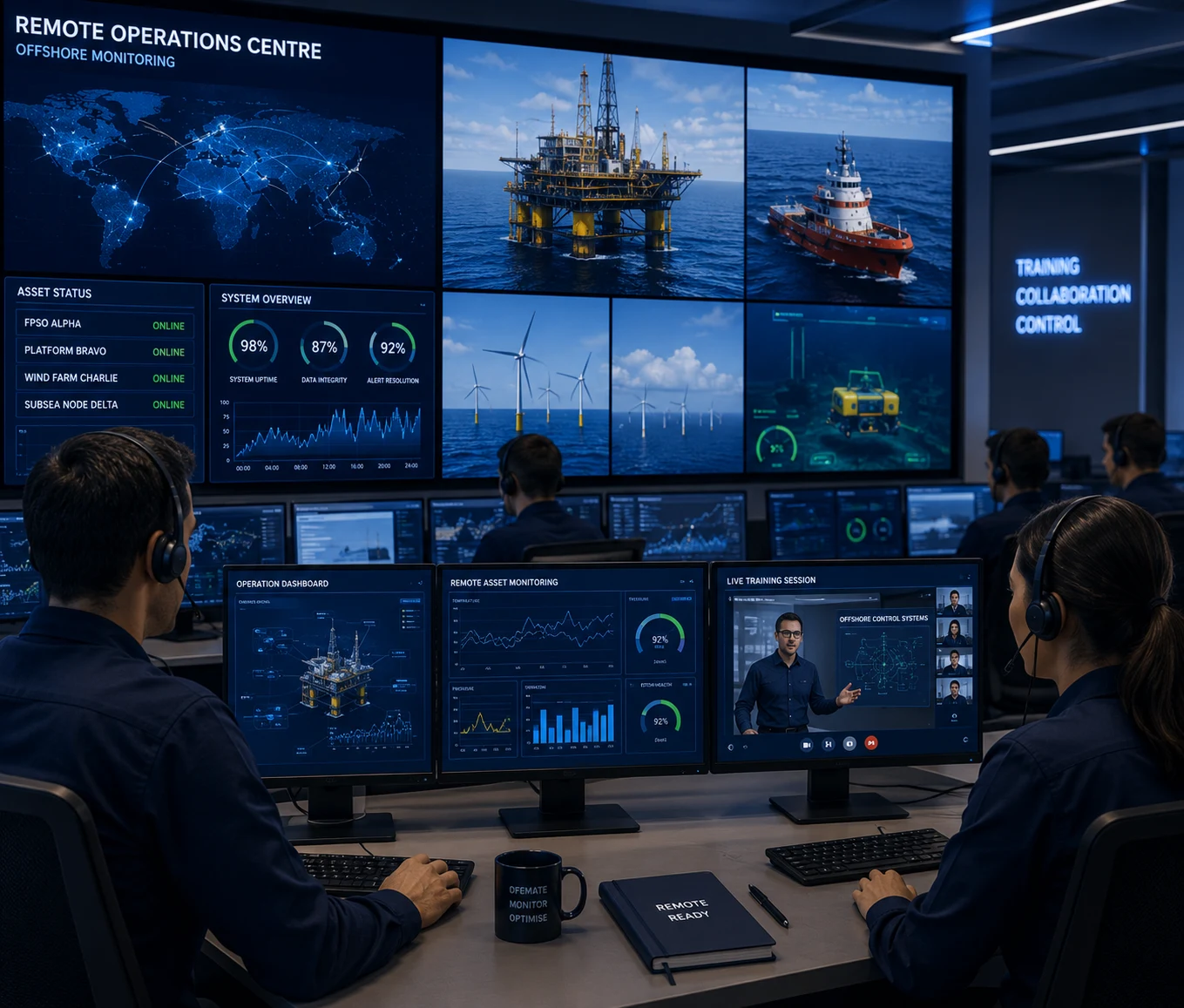
PROGRAMME 04
Prepare teams for digital operations, remote asset monitoring and autonomous offshore environments.
WHAT YOU GET AT THE END
Applicable for CPD with applicable professional bodies.