Survey Party Chiefs
Senior survey professionals responsible for planning, supervising and validating offshore hydrographic survey campaigns.
PROGRAMME 02 — SPECIALIST
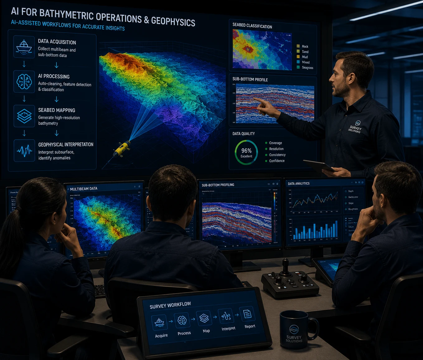
Purpose-built for survey and geophysics professionals working with AI-assisted data processing, seabed mapping and offshore survey interpretation. Learn practical AI workflows that improve speed, accuracy and confidence across modern hydrographic operations.

Programme Snapshot
✓ 3-Day Intensive Programme
✓ Maximum 8 Participants
✓ In-Person Delivery
✓ Specialist Certification
WHY THIS PROGRAMME
Bathymetric processing is evolving rapidly as AI transforms how survey data is cleaned, classified and interpreted. Modern survey teams are expected to process larger datasets with greater accuracy while reducing turnaround times for offshore projects.
This programme bridges traditional survey expertise with practical AI capability. Designed by offshore practitioners, it equips hydrographic professionals with real operational workflows using industry-standard survey platforms and AI-assisted processing tools.
WHO SHOULD ATTEND
This specialist programme is built for professionals who already work with survey, bathymetric or geophysical datasets and need practical confidence applying AI-assisted workflows in real offshore operations.
Senior survey professionals responsible for planning, supervising and validating offshore hydrographic survey campaigns.
Offshore surveyors working with positioning, multibeam acquisition, seabed mapping and daily survey deliverables.
Specialists interpreting seabed, shallow geophysical and subsurface datasets who want stronger AI-assisted review capability.
Personnel processing multibeam, side scan, magnetometer or geophysical data in Qimera, CARIS, EIVA or similar platforms.
Quality, reporting and deliverables personnel who need to understand how to verify AI-assisted outputs before client submission.
Project and operations leads evaluating where AI can improve turnaround, consistency and confidence across survey delivery.
PRACTICAL CURRICULUM
Overview
Learn how AI integrates with Qimera, CARIS and EIVA platforms to streamline bathymetric workflows.
Key Topics
Learning Outcomes
Overview
Apply machine learning techniques for bathymetric classification, filtering and quality improvement.
Key Topics
Learning Outcomes
Overview
Identify seabed structures, anomalies and survey features using intelligent detection methods.
Key Topics
Learning Outcomes
Overview
Understand verification procedures and quality assurance when working with AI-generated survey outputs.
Key Topics
Learning Outcomes
Overview
Process real offshore bathymetric datasets using AI-assisted workflows and industry-standard software.
Key Topics
Learning Outcomes
WHAT YOU'LL GAIN
Technical capabilities designed for modern hydrographic and geophysical survey operations.
Learn modern bathymetric processing techniques.
Work confidently with AI-assisted survey workflows.
Earn a specialist certificate recognised for professional development.
Increase your capability across offshore survey and geophysical projects.
PROGRAMME FORMAT
3 Days
Duration
In-Person
Delivery
Maximum 8
Participants
Active Offshore Survey or Geophysics Role
Prerequisite
Programme Journey
Registration
Complete enrolment and receive technical preparation materials.
Technical Training
Specialist sessions for AI-assisted bathymetric and geophysical workflows.
Practical AI Labs
Hands-on processing using real offshore survey datasets.
Assessment
Validate practical competence and AI output review procedures.
Specialist Certification
Receive your AI-assisted bathymetric operations certificate.
Specialist Certificate
Digital Certificate ID: RO-AI-BATHY-02
Secure digital verification and CPD-ready completion record.
CERTIFICATION & OUTCOMES
Graduates leave with practical AI workflows that can be applied immediately within hydrographic and geophysical survey operations. The programme focuses on operational competence rather than theoretical AI concepts.
RELATED PROGRAMMES
PROGRAMME 03
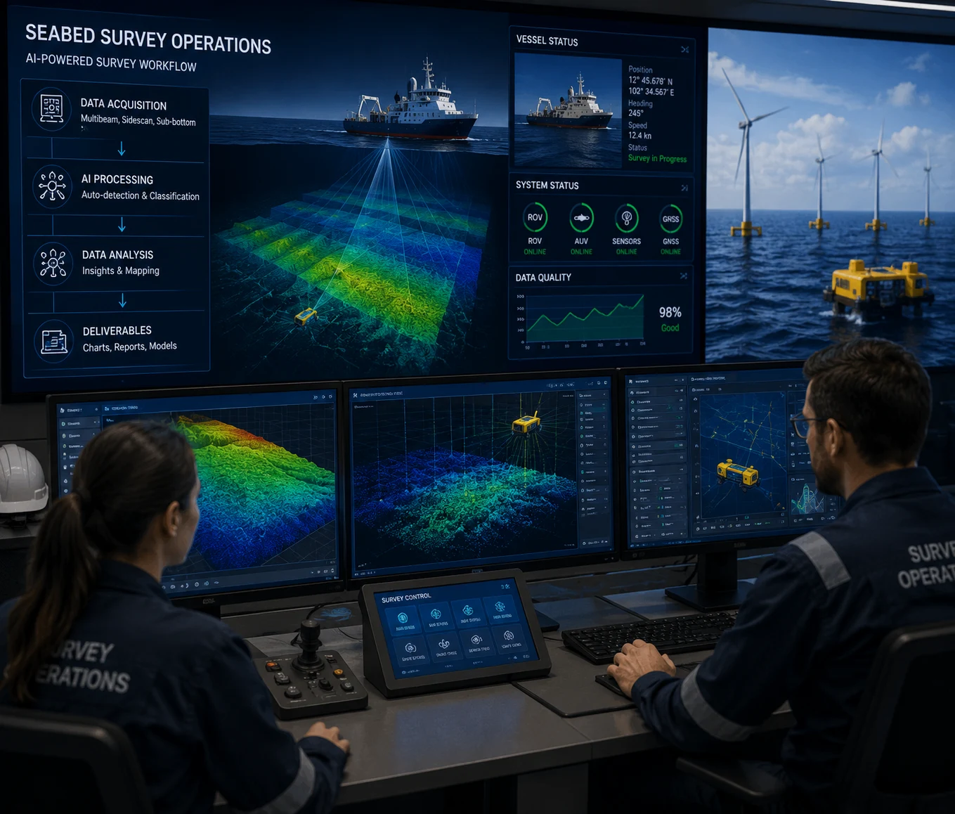
Learn intelligent survey planning, autonomous workflows and data-driven seabed operations.
PROGRAMME 04
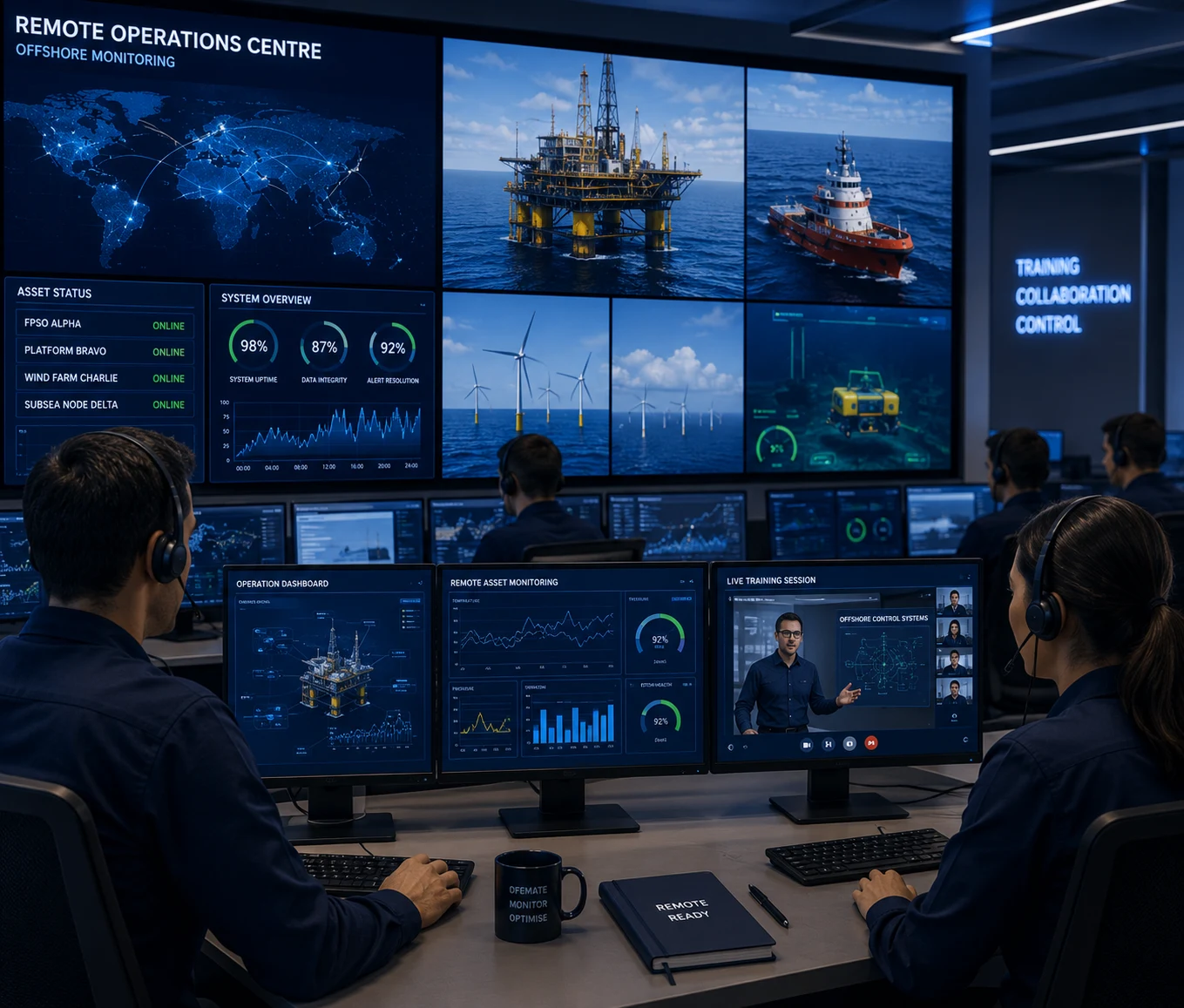
Prepare teams for digital operations, remote asset monitoring and autonomous offshore environments.
PROGRAMME 05
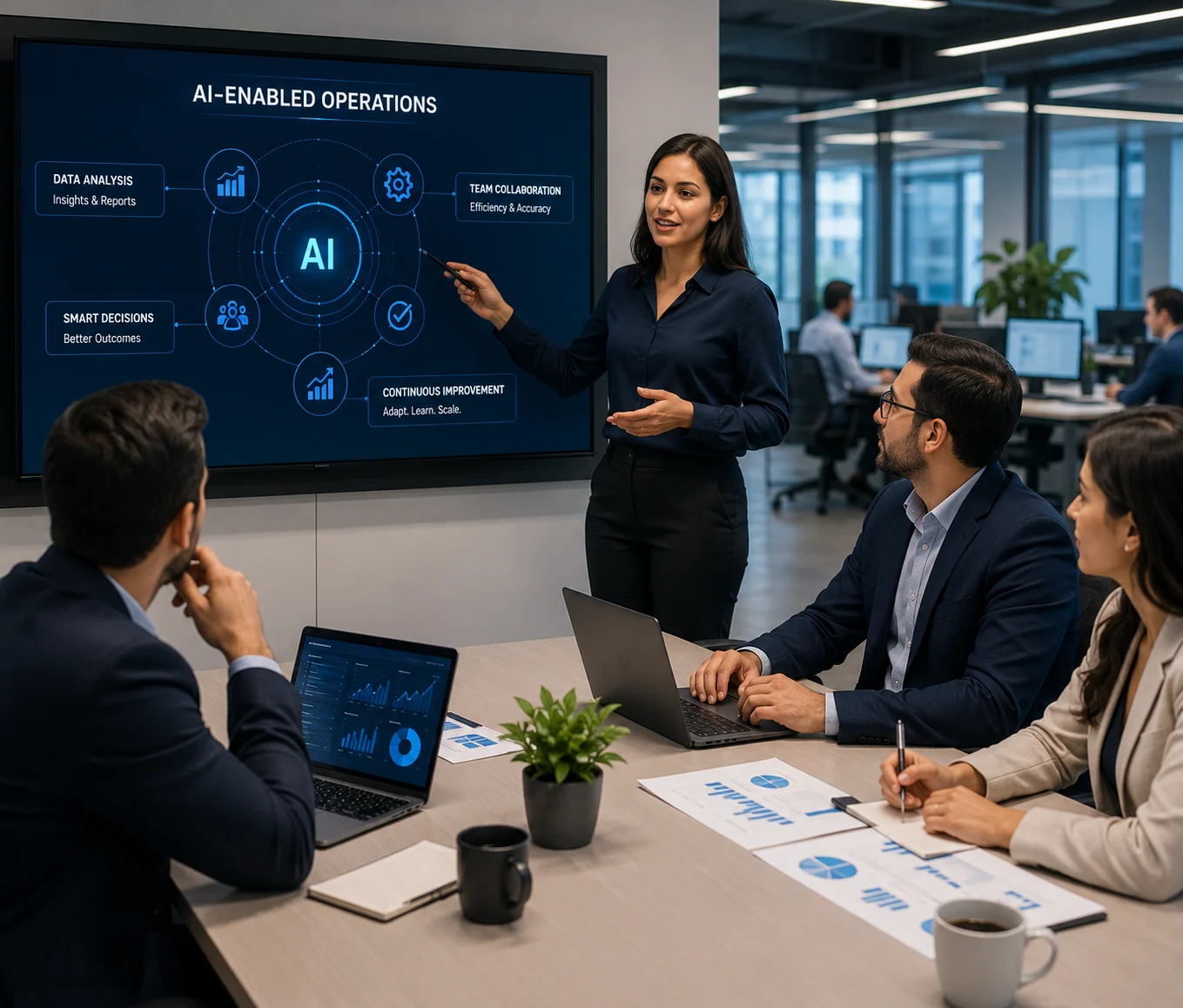
Give support and commercial teams the context to work with AI-enabled offshore delivery.
PROGRAMME 06
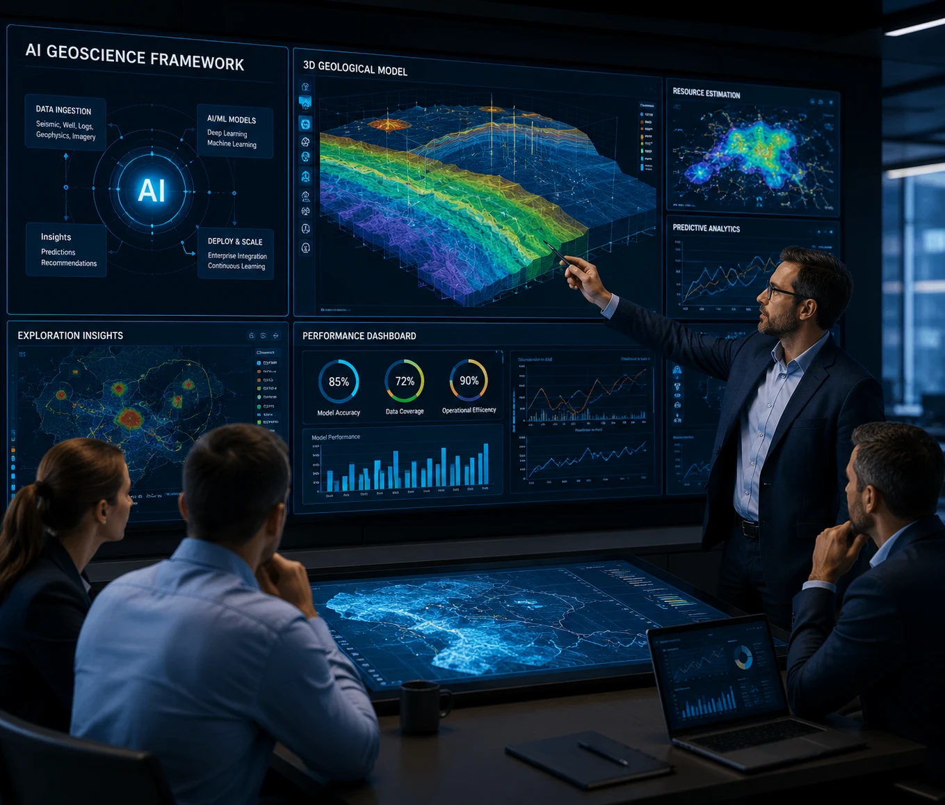
A strategic programme for leaders building enterprise AI capability in geoscience.

Equip your survey and geophysics professionals with practical AI capability designed for real offshore operations.